Feasibility Study Platform

De-risk development.
Plan with confidence.

Analyze parcels, zoning, overlays, entitlement risk, and report readiness before a site moves into approvals.

See How It Works
Zoning map with a highlighted development parcel
  1. 1Site ScreeningComplete
  2. 2Zoning ReviewComplete
  3. 3Entitlement RiskIn Progress
  4. 4ReportsPending
  5. 5MonitorUpcoming

Site Viability

Screen physical constraints and development potential.
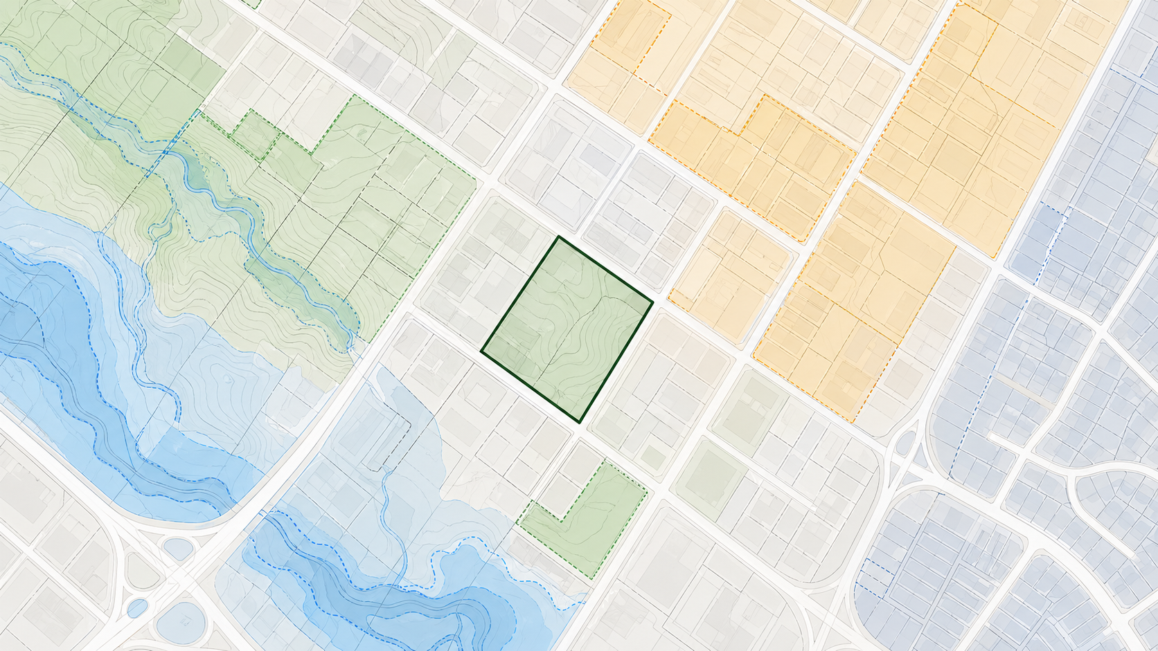
Parcel viability map preview
  • TopographyLow slope
  • Flood RiskLow
  • UtilitiesAvailable
  • AccessGood

Zoning Review

Analyze zoning, overlays, and land use regulations.

Zoning District
C-MS-8
Max Height
8 stories / 85'
Max FAR
6.0
Min Setbacks
See details
Overlays
Design Review

Entitlement Risk

Identify risky early and plan an approval strategy.

Overall RiskModerate
  • Zoning Low
  • Design Review Moderate
  • Community High
  • Environmental Low
  • Historic Low

Reporting

Generate decision-ready reports and exhibits.

Feasibility Report April 28, 2026 View sample report
Small feasibility report map

Two-page feasibility snapshot

Turn a parcel intake into a premium study lead.

Snapshot output

Lead preview
Ready for an intake.

Submit a parcel and FeasibilityStudy.io will produce a high-level feasibility snapshot, save the lead, and stage it for the private report workspace.

Snapshot2 pages
Full report15-25 pages
Premium study$7.5k+

FeasibilityStudy.io Access

Secure access for planning and municipal review teams.

A calm, branded gateway with SSO, email sign-in, and privacy-first access controls for reviewer workspaces.